Where are you riding from????
2010-12-30 22:57:09
I recently got a new job in bridgeville and was wondering how doable it would be to ride out there.
How long does this take?
How are the roads?
etc, etc
Any help would be excellent.
Where are you riding from????
polish hill
I posted on the Roboto board too, might as well do so here as well.
I'd go downtown, take either Smithfield or the walkway on Ft Pitt, around the West End Circle (not as bad as it would seem, you'll figure out the flow), up and over on Noblestown Rd (pleasant and low traffic for the most part, watch the business district near Poplar St), Washington Pike can be a bit dicey, looks like there is many more businesses along here now.
A fit rider moving at a steady pace will do this in about an hour. There are some fun alternate routes too, involving steep descents, or climbs if you are so inclined, or even routes through Mt Lebo and Dormont.
west end circle, noblestown, poplar to mansfield is what I do to get from southside to greentree. after that, I suppose stay on mansfield to noblestown (intersection with Mendoza Express) which becomes Rte. 50.
Noblestown from poplar to mansfield gets narrow and traffic is fast for the lane width, grade change and turns. turning up poplar and heading down mansfield to bypass that section would be my recommendation.
thanks guys! im gonna have to give this a try before i do it as a commute. i was looking on gmaps and thought washington pike and rt 50 looked a little iffy.
i wonder if im 'fit'? ill have to set my stop watch...
You don't have to bike it every day, any more than I biked to FedEx every day. The 31 and G31 will get you all the way to Bridgeville, and the G2 will get you as far as Carnegie. So, any day you're not up to the whole ride, or you're running late, or traffic or weather seems more miserable than usual, those racks might be well worth the couple of bucks for the ride.
Just know your options, is all I'm saying.
thanks stu. i have a car and i did some number crunching and i think it would be cheaper to pay for a gallon of gas to get to there and back than to ride a bus or two. i ran into this problem working in beechview where i would ride to the T stop downtown and take that to work. it cost me almost $2 more a day to ride then hop a train than to just drive. sad but true. i wont be working there more than 4 days a week so a pass wouldnt really save me any money either. like you said though, im figuring out my options.
Funny. I am considering doing the same thing though I live closer. I am about 4 miles away, but the roads still look a bit shaky to me.
50 sucks. There once was a plan to put a trail in by the RR along Chartiers Creek, but I think they've given up on it. You might find some info on it if you search this message board.
A trail along Chartiers Creek shows up on the county's Allegheny Places map of proposed and current bike trails (pdf). The map is dated December 2008, but I think the Allegheny Places plan itself came out in 2010.
Here's a previous thread on the trail , and some other web pages about it.
Whether the trail idea has been abandoned or it's just not a priority right now isn't completely clear to me.
If you want to avoid the traffic of 50 in Carnegie go up 60, stay on it (instead of going left) Bomb into Crafton
Left on Hawthorne
Left on Woodlawn
right then left under busway
get on Idlewood Ave
Bell St.
Merge back on to 50
From there 50 to Thom's Run to Presto Sygan
Then either the shoulder on 50 into town or maybe Priestly Rd.
Your other option is Mt. Washington to W Liberty then down Bower Hill Rd.
Either way it's at least an hour.
I just love the name "Presto Sygan". Anybody know where it comes from?
This used to be my commute. What time will you be traveling this? I was generally doing this at like 4 or 5am so there was very little traffic.
Smithfield Street Bridge
through Station Square
West End Circle
up Greentree Rd
Right on Mansfield
Left on Noblestown
From there follow Chris Mayhew's route
This seemed the most direct to me and as I said there was little to no traffic as it was 4 or 5 am maybe not the best at 7am.
BTW, in case I wasn't clear you can look at this, starting from Station Square. We turn off in Carnegie but it shows you the cut around to avoid traffic on 50 near town.
http://connect.garmin.com/activity/61636933
@ejwme I suspect it connects the two towns of Presto and Sygan or takes you to the town of Presto-Sygan. I forget which, been awhile since I've been there.
Thanks Chris... I saw "Presto" on google maps at one end of the road, but didn't see Sygan at the other end. Place names are totally fascinating to me, usually they tell more about the namers than the named.
Looks like Sygan is the neighborhood in Bridgeville at the far end of Presto Sygan Rd. Sygan Rd runs off the other end of it.
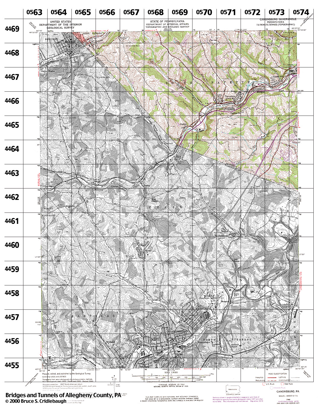
There's also a valley called Sygan Hollow running NW from the Sygan neighborhood, with a stream at the bottom, of the same name, based on a few references here and a USGS map here (look in the upper right corner).